Gromatici opens remote office in Atascadero, CA.
I've opened an office in Atascadero, CA which is in San Luis Obispo County, near San Luis Obispo, and Paso Robles, CA. With this office we should be better able to serve the areas nearby with LiDAR Drones, Robotic Equipment and GPS surveys!
Grand Opening of Airbnb!
We are pleased to announce that we have opened an Airbnb in Three Rivers, CA, near the entrance to the Sequoia National Monument. This is 10 minutues from the south entrance to the Nation Park! It can accomidate 8 people, with 2 bedrooms and a loft.
For discounted rates book directly:
Mountain Top - 8 pple - Sequoia Vacation Rentals Inc.
VRBO:
*** New ~ Mountain Top House *** - Three Rivers (vrbo.com)
Airbnb:
Gromatici featured in online article
An article featuring our new GPS addition, the Leica GS18i.
Drone Mapping
Gromatici is pleased to announce that we now have a drone for use in aerial mapping, and topographic surveys. We can also produce color-ortho photos for use in planning, agriculture, and ALTA/NSPS surveys.
We have a DJI Phantom 4 Pro V2 RTK drone with the DRTK 2 Base Station. This allows us to have 1cm accuracy for our survey given certain field conditions.
What type of project is this good for?
Larger parcels where there is not all grass. Only LIDAR that is airplane based can penetrate tall thick grass. However, it's 10x the cost or more!
Smaller projects can use the drone, but more for the orthometric photo, or to supplement the field survey. As an example: For an ALTA/NSPS survey you may want to capture the paint striping for the site, while the field crew performs the boundary survey and location of the perimeter features. The rest of the improvements for the site can be captured using the drone, so long as ADA improvements are NOT designed using the drone.
Feel free to call us regarding a free quote on your next project!
eackerman@gromatici.com
805-691-9112
I have a related website:
Multi-State Licence
Eric is now licensed in the following states:
Arizona
California (original license)
Colorado
Idaho
Nevada
Eric took 4 state exams in 7 months in 2020 to get these licenses by comity and state specific exams.
Although my main practice area is California, I would love to work in these states. I have a trailer and can work on-site depending on what type of project it is. For out of state projects an Elevation Certificate, topographic survey, ALTA/NSPS survey or a boundary survey would be ideal. Construction staking out of state would likely not be cost effective unless it's a campsite or road staking job that would only require one or two site visits in a week. The reality is that Arizona and Nevada are closer to me than some parts of California, but the project would need to be simple and able to be completed in one visit. The exception to this rule: A PLSS Section breakdown or large ranch were I can work out of the trailer and be able to make a second visit.
ARIZONA LICENSE!
Eric took his exam to become a licensed land surveyor in Arizona in May. The exam was held in Phoenix, Arizona. His license is: RLS #69068. Need any work done near Flagstaff? I would love an excuse to visit!
Boundary Surveys in Woodstock
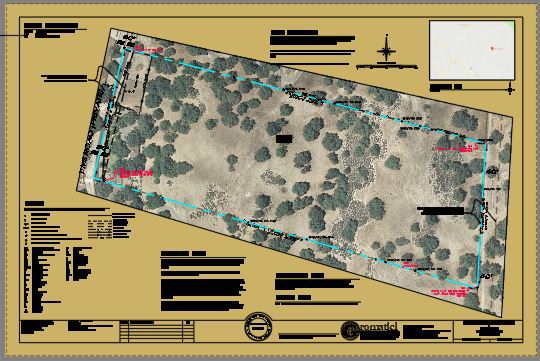
Gromatici just completed two property surveys in Woodstock, Santa Ynez, CA. Using GPS and our in-house color ortho-photo that we have, we were able to supply the clients with property surveys and exhibits that clearly show what they own!
Gromatici is selected to perform layout for Ice in Paradise, Goleta
April 13, 2015:
Gromatici Land Surveying, Inc was selected to perform layout and construction staking services for the Ice in Paradise Ice Rink in Goleta, CA. We started in November of 2014 and have been working with the owner and General Contractor with the preformed exterior of the building that will house two ice rinks.
Gromatici enters High Definition Scanning with Leica NOVA MS50
Gromatici Land Surveying, Inc has acquired a new Leica MS50 NOVA multi-station. This is a robotic total stations AND a high definition laser scanner for land surveying applications, architectural surveys, and as-built surveys!
This scanner will locate 1,000 points per second and take high-resolution pictures and drape them onto the scan real-time.
Here is a video showing some applications:
Local Land Surveying Company is selected for Buellton Crossroads project as Surveyor
March 26, 2014
Gromatici Land Surveying, Inc has been selected as the land surveyor for the Crossroads project along McMurray and Highway 246 in Buellton. This project consists of commercial buildings, utilities, and parking areas.
Work has already started and will last through the end of the year for this phase.
New "North" office in Los Olivos, CA for Land Surveying
Gromatici Land Surveying, Inc has opened a new office in Los Olivos. Our grand opening was last Monday, March 24, 2014. Our Los Olivos office will serve Los Olivos, Ballard, Solvang, Buellton, Los Alamos, Orcutt, Santa Maria, Nipomo, and San Luis Obispo County. We will continue to have our Santa Barbara Office serving the southern County and Ventura County.
Gromatici Land Surveying, Inc specializes in Elevation Certificates, boundary surveys, ALTA/ACSM Surveys and Tentative/Final Mapping.
We would be happy to meet with you.
Thank you,
Eric J. Ackerman, PLS, CFedS
Gromatici Selected as Surveyor for Pescadero Lofts
November 25, 2013
Gromatici Land Surveying, Inc was selected by the Housing Authority of the County of Santa Barbara as the project surveyor for the Pescadero Lofts. Gromatici performed the ALTA/ACSM Survey, wrote access and water easements for the project, and is currently doing the construction staking. We are working closely with the General Contractor, TOMAR, and have been contracted directly by the Housing Authority.
http://www.independent.com/news/2013/sep/19/housing-help-ivs-homeless/
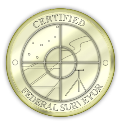
Local Land Surveyor Completes Federal Certification
November 7, 2013
A Santa Barbara man has recently joined a small group of professional land surveyors nationwide to become a Certified Federal Surveyor (CFedS). Eric J Ackerman, P.L.S. who is the president and founder of Gromatici Land Surveying, Inc., is among a select group of professional land surveyors to participate in the Federal program called CFedS, for Certified Federal Surveyor.
The CFedS program, which has been approved by the U.S. Secretary of the Interior was designed specifically to enhance the level of knowledge and expertise in the professional land surveying community for survey work performed on federal lands and especially on Indian trust lands. To earn the CFedS designation, professional land surveyors must complete approximately 120 hours of course materials prepared by the BLM's National Training Center, in Phoenix, Arizona, and pass the certification examination. To maintain the certification, a CFedS must complete 10 hours of continuing education annually.
This certification is a significant addition to the resume and credentials of the private professional land surveyor. Eric is currently licensed in the State of California with over 24 years of experience.
See http://www.cfeds.org/ for more information and the official announcement.
Eric J. Ackerman, PLS, CFedS
805-845-2133 office
805-886-0600 cell
866-610-1045 fax
High Definition Laser Scanning Surveying
Applications:
Forensic Surveys
Accident Reconstruction Surveys
Oil and Refinery Surveys for inventory purposes
Topographic Mapping
Tree Canopy and "view easements"
As-built survey for post construction
Cell tower as-builts
Shoreline monitoring surveys
Many more!
Please feel free to contact us for a free consultation and cost proposal:
Eric J. Ackerman, President
805-845-2133 office
Eric J. Ackerman, PLS is a Certified Federal Surveyor No. 1609.
Eric is licensed in California, Arizona, Idaho, Nevada, and Colorado.
CA LS 8226
AZ RLS 69068
ID PLS 18767
NV PLS 26941
CO PLS 38714
UT PLS 2201
Licensed Drone Pilot
ALTA Surveys
Elevation Certificates/ Flood
Contact Us
To contact us, just call
(805) 691-9112 or complete the
email: proposals@gromatici.com
Los Olivos: 805-691-9112
2432 Railway Ave., Suite I
Los Olivos, CA 93441
Santa Barbara: 805-845-2133
Atacadero: 805-464-2592
Current Projects
Click here to find out what projects we are currently working on.
Helpful Links
Links to research and information. Click here
Member of the Arizona Professional Land Surveyor's Association.

Member of the Santa Barbara Contractor's Association.
