DJI L1 LiDAR Drone
Gromatici has added another drone to our equipment list that performs LiDAR mapping for use in tree covered areas or areas of heavy vegetation. This drone also has an on-board camera, so we can use photogrammetry to get accurate grades and details on hardscapes and natural ground and use the LiDAR data to get underneath tree canopies for the most accurate topographic basemap possible.
DJI Phantom 4 RTK with D-RTK 2 Mobile Station Drone system
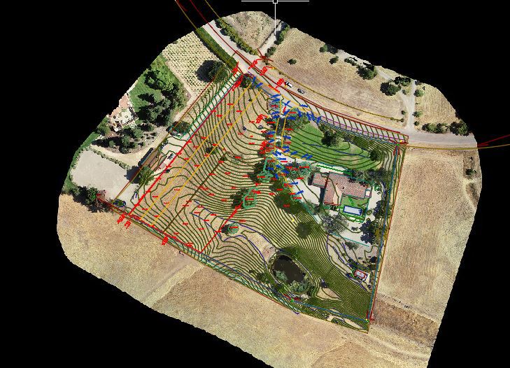
Call us for a free quote and if your parcel fits certain criteria, we can use our new drone to survey your lot.
High Definition Laser Scanner (NOVA MS50)
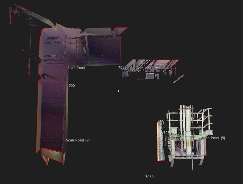
The Leica NOVA can provide a high-definition laser scan for your project or we can use it to streamline our data gathering for projects. This allows us to use the fastest robotic instrument on the market to gather topographic, boundary, and as built data for clients.
Four GPS RTK units (5 Static)
Gromatici can perform static, RTK, and cell phone modem surveys with our two units. Our newest GPS is the Leica GS19i, which is Static, RTK, and imaging GPS!
Lieca GS18i RTK Units
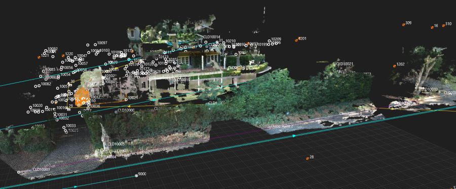
With our imaging GPS units, we can capture point clouds and increase the cost-efficiency of our workflow. Here we have created a point cloud from imaging to capture trees and utility boxes.
Software
CAD
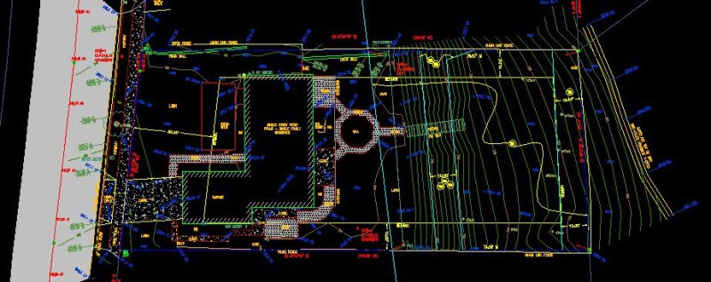
Gromatici using Carlson Survey with AutoCAD OEM engine embedded. This allows us to produce licensed AutoCAD DWG files to our design clients, and accept CAD files from them without any issues like in-compatibility.
This program is designed for surveyors, by a surveyor, and gives us a competitive edge over other local survey firms due to the customized commands that streamline Legal Descriptions, staking of walls, roads, and utilities. It also uses "Field-to-Finish Technology" that reduces the amount of time drawing up a Topographic Map by 50% to 100% depending on the project compared to traditional CAD programs.
Office and Field
Carlson Surveyor II Field Computer
Star*Net v9 for Least Squares Adjustments
Trimble Business Center
Word, Excell, etc.
Carlson Survey
AutoCAD 2019
Carlson CE - Field Survey software to run the robotic instrument with advanced Roading
Safety Equipment
Personal Protective Equipment
Hardhats
Steel Toe Boots
Gloves
Tyvek Suites
Goggles
Snake Chaps
H2O Sensors
Safety Training
Hazwoper 40 Hour General Site Worker Certification - Exp. October, 2013
Tailgate Meetings
Weekly Meetings
Site Specific Plans
Monitoring Equipment -IDLH
H2S Monitor with Alarm at 10ppm and 15ppm.
Three Trucks
We have two field trucks, each fully equipped for your needs. Each of these is a 4x4 with first aid, safety gear, and supplies for construction, topo, boundary, and ALTA Surveys.
Underground Utility Locators
We have 1W and 5W underground utility location equipment to find gas lines, water lines, electrical, communication, and sewer lines. We can map depths and horizonal locations and add that data to our topographic surveys.
Eric J. Ackerman, PLS is a Certified Federal Surveyor No. 1609.
Eric is licensed in California, Arizona, Idaho, Nevada, and Colorado.
CA LS 8226
AZ RLS 69068
ID PLS 18767
NV PLS 26941
CO PLS 38714
UT PLS 2201
Licensed Drone Pilot
ALTA Surveys
Elevation Certificates/ Flood
Contact Us
To contact us, just call
(805) 691-9112 or complete the
email: proposals@gromatici.com
Los Olivos: 805-691-9112
2432 Railway Ave., Suite I
Los Olivos, CA 93441
Santa Barbara: 805-845-2133
Atacadero: 805-464-2592
Current Projects
Click here to find out what projects we are currently working on.
Helpful Links
Links to research and information. Click here
Member of the Arizona Professional Land Surveyor's Association.

Member of the Santa Barbara Contractor's Association.
